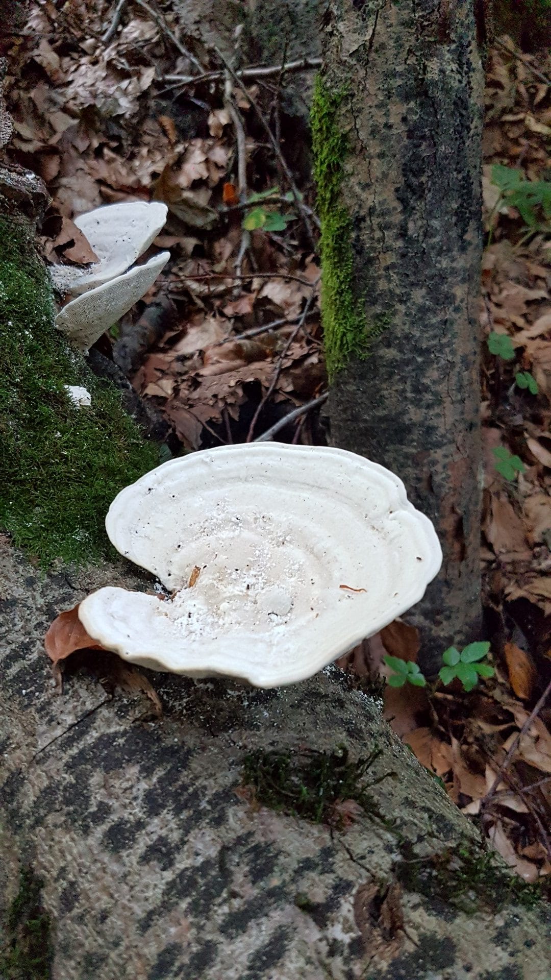
Jungle, gorges, rainforest, wilderness – yes, that's Hawaii, but Switzerland can also compete. Specifically, with the Sevelen Gorge Trail, which winds through an incredibly beautiful landscape. Located in the canton of St. Gallen, you start in Sevelen, at the foot of the Alvier, and along the approximately 5 km long trail, you can learn a lot about the history of water and mills. At 16 stations, you'll discover exciting facts about the dangers of water from the gorge, about geological processes, and, of course, about the local flora and fauna.
Honestly, after work, I have zero motivation to learn anything new. So I'll leave the knowledge aside and enjoy the beautiful nature and the sound of the water.
Starting point

However, I'd like to give you a few pieces of information about the tour, as I was quite disoriented when I started the first time, which made the tour a bit longer. When you start, walk from the parking lot towards the Toldo company. That's the one with the Dredging 🙂 Behind the company, a small path goes up to the left, the Sevelen Gorge Trail.
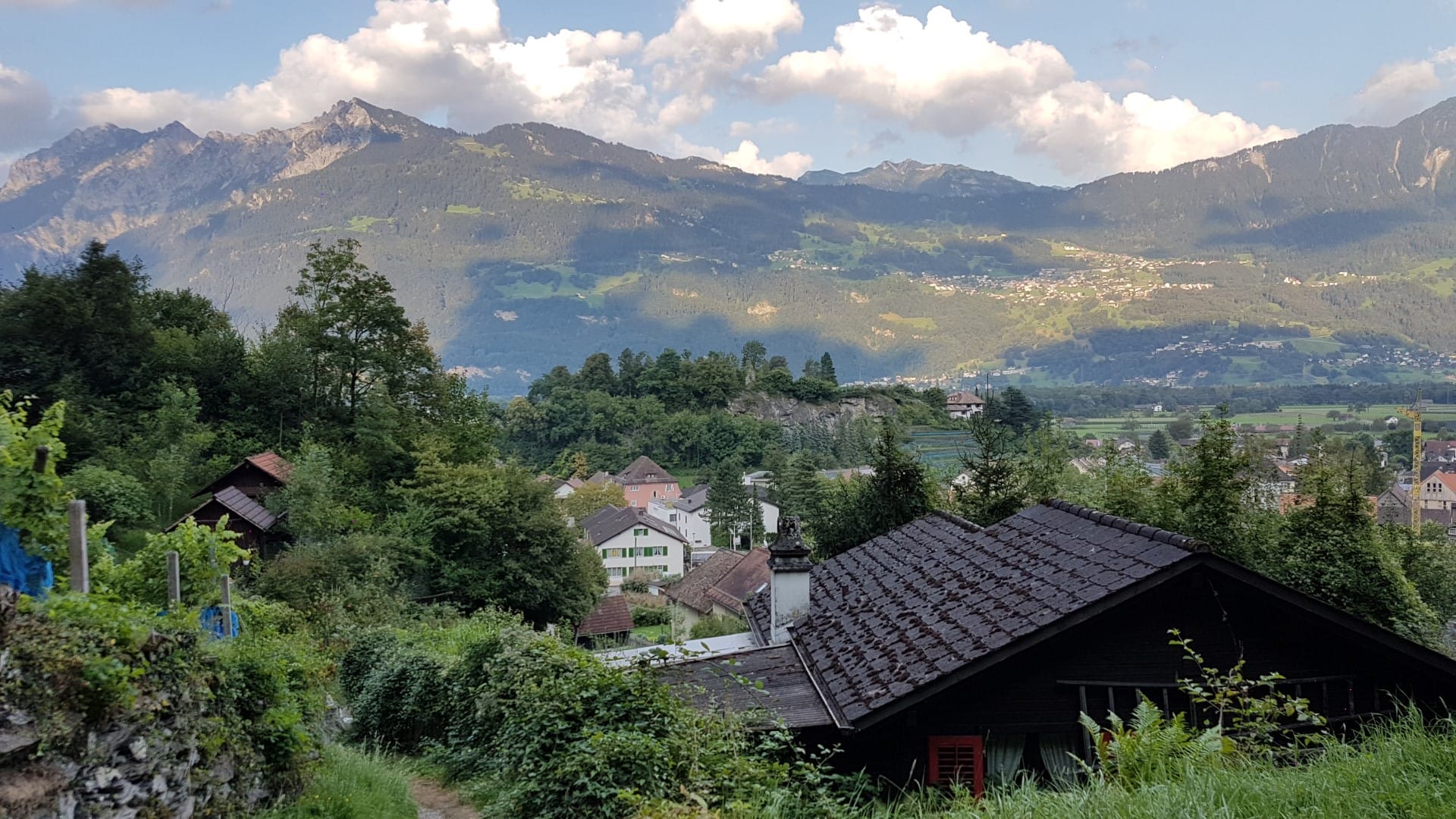
Now, you proceed along a mountain stream via stairs and bridges, next to which ancient glacial mills can be seen. You can see all of this in the photos in the gallery. Past small retention ponds and across wide meadows, you can enjoy the peaceful and picturesque mountain idyll. The tranquility up there is immense. Those with a bit more time can follow the signpost to the Ansaspitz. From there, it's about a 20-minute walk to the summit, offering a fantastic panoramic view of the Rhine Valley and Liechtenstein.
I didn't do that today and turned right at the Ansaspitz sign towards Valschnära, the highest point on the tour. The highest point always sounds so high, and we are in Switzerland, and therefore in the Alps. There is a gorge trail there, so we are currently at just 657 meters above sea level.
You now reach a small hut and a farm where you can help yourself to drinks. I didn't do that either, as I had dinner and enough water with me.
Way back
From here on, it's all downhill, back towards Sevelen. But anyone expecting a road back is mistaken. We descend somewhat adventurously over partly exposed terrain towards the Geissbergtobel. Immediately after the vineyards, you're back in the village and walk along the road back towards the Glat parking lot. Anyone using a GPS tracker, such as Runtastic or Sportstrack Live (I use), who can simply run back to the starting point. The others just run north =)
Unfortunately, you've already covered the route after about 1.5 hours. Since it's a gorge trail, the Sevelen Gorge Trail is naturally best suited for higher outdoor temperatures, for example in the summer *g*
Information about the tour
- Directions Bus stop Sevelen Town Hall or Glatt car park
- Walking distance 5.32 km
- Hiking time 1 hour 44 minutes (including taking photos and breaks)
- Elevation gain: 204 meters
- Meters of descent: 204 meters
- Difficulty level: Light
- Requirements Sturdy footwear, very slippery in the rain


- About the Author
- Latest posts

On my travel blog Wandernotizen I'll take you along on our family trips around the globe. Between wanderlust and everyday chaos, you'll find honest travel reports, tips, and plenty of material to ignite your wanderlust. 🧭 ❤️ 🏝️