Thanks to Corona, I now have the opportunity to introduce you to another hike. This time I went on a hike through the Rhine Gorge.
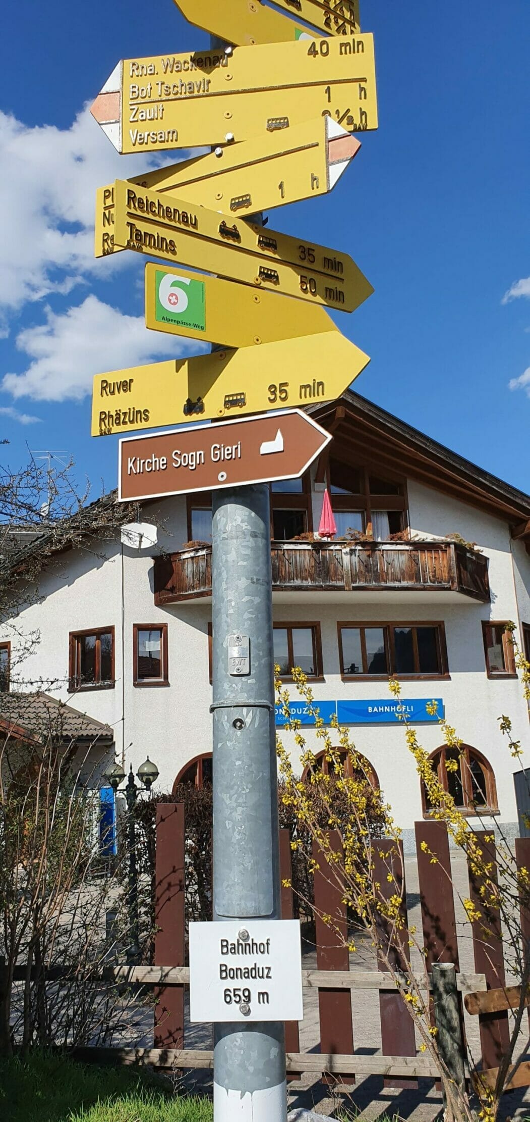
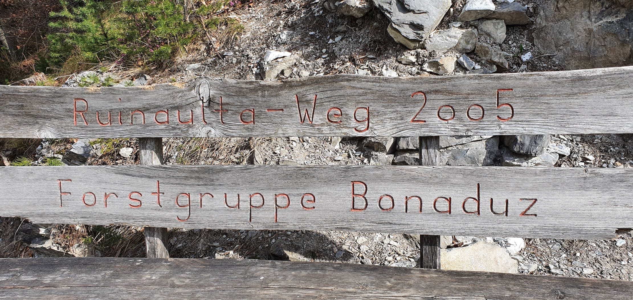
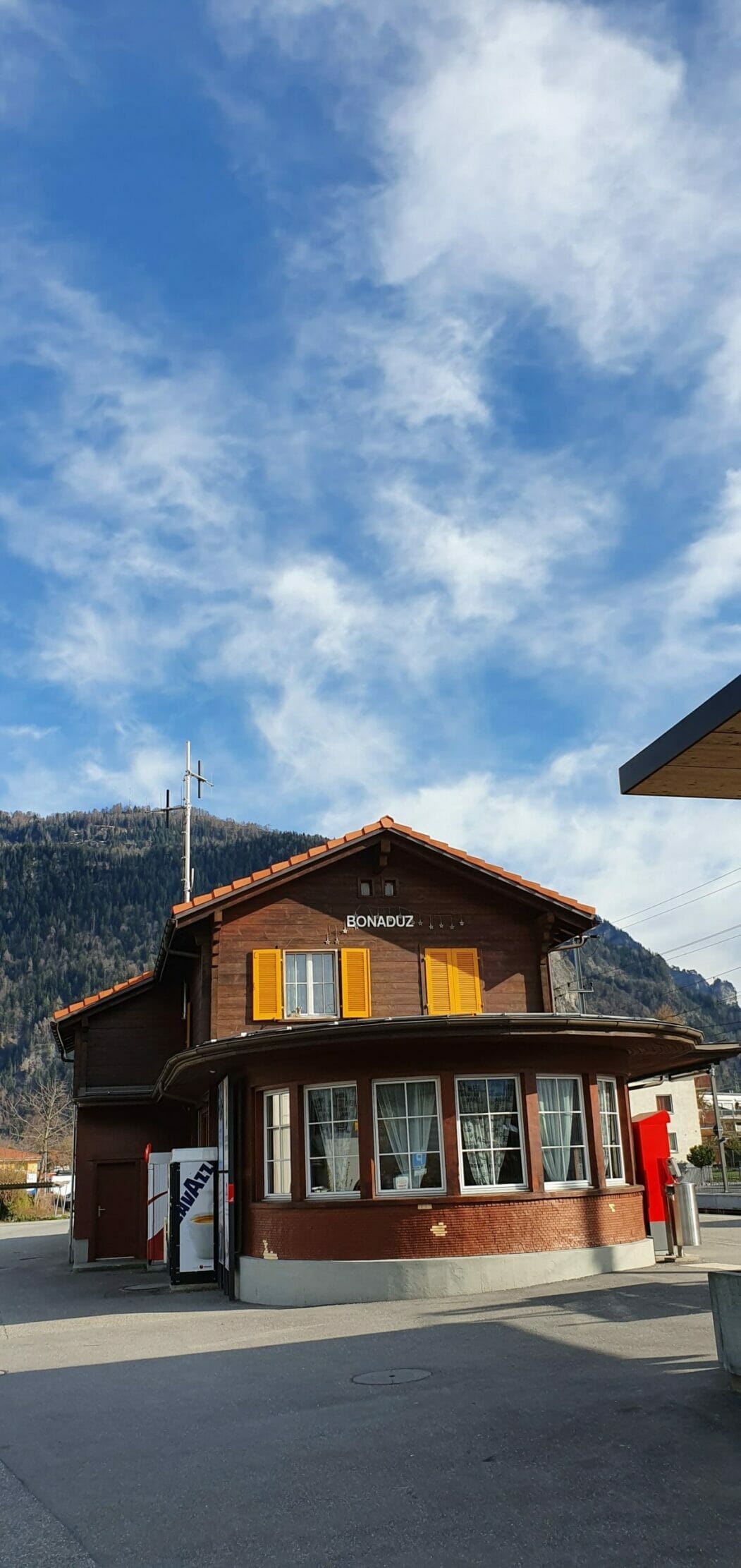
This cozy hike with great insights into the Rhine Gorge and around the hill Bot Tschavier, start best at the train station in Bonaduz.
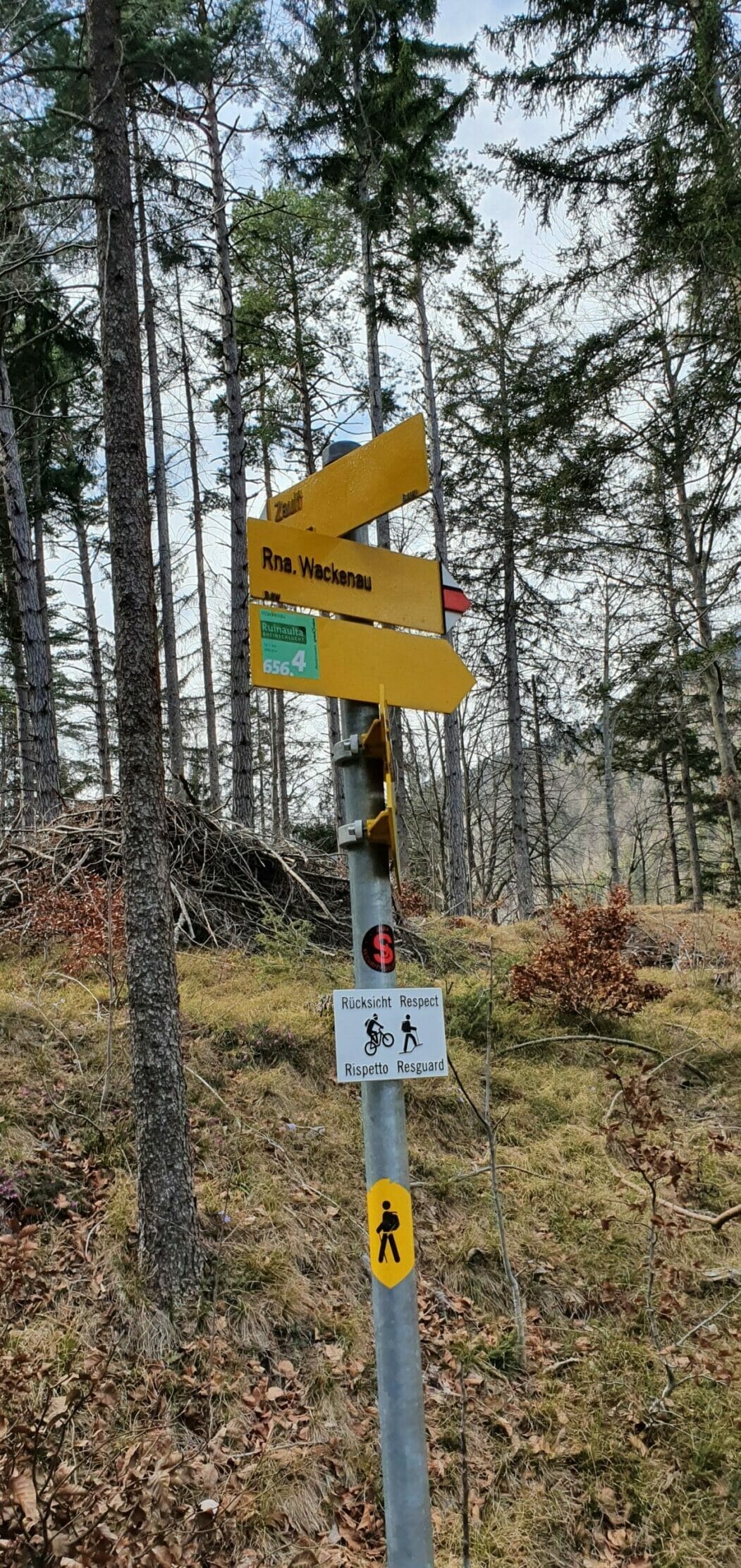
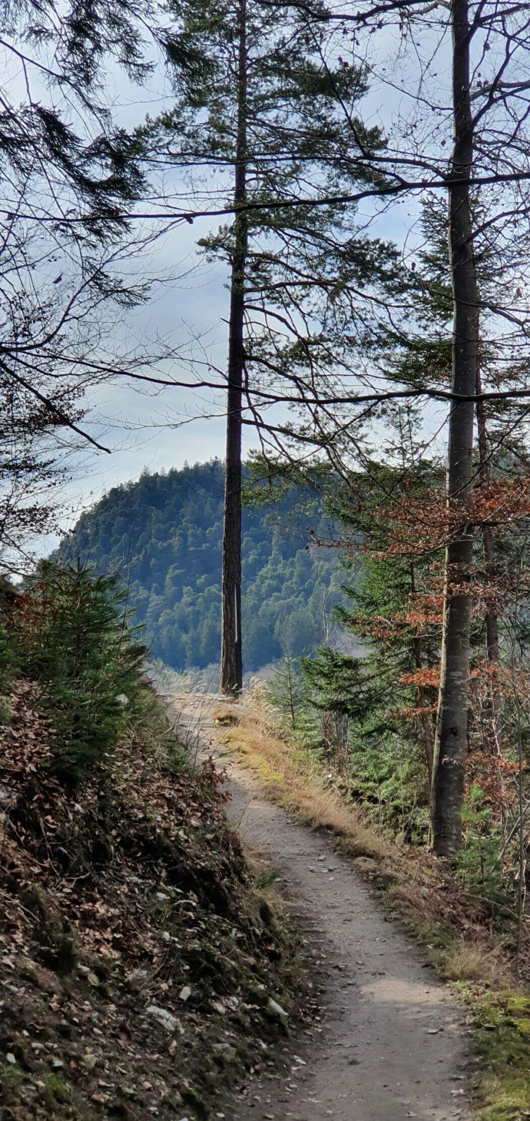
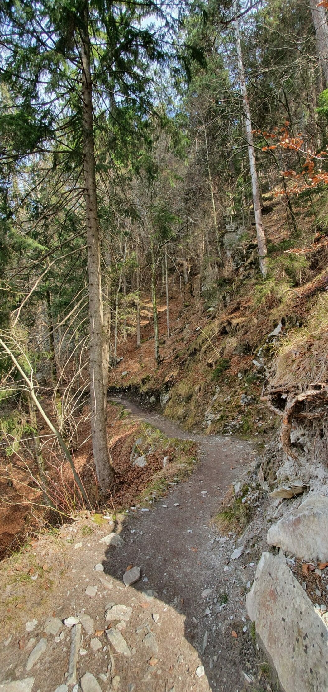
From Bonaduz train station, follow the signpost „Ruine Wackenau.“ For a few hundred meters, the path runs directly through Bonaduz, along the RHB tracks. You then cross the tracks and turn into the forest.
Directions
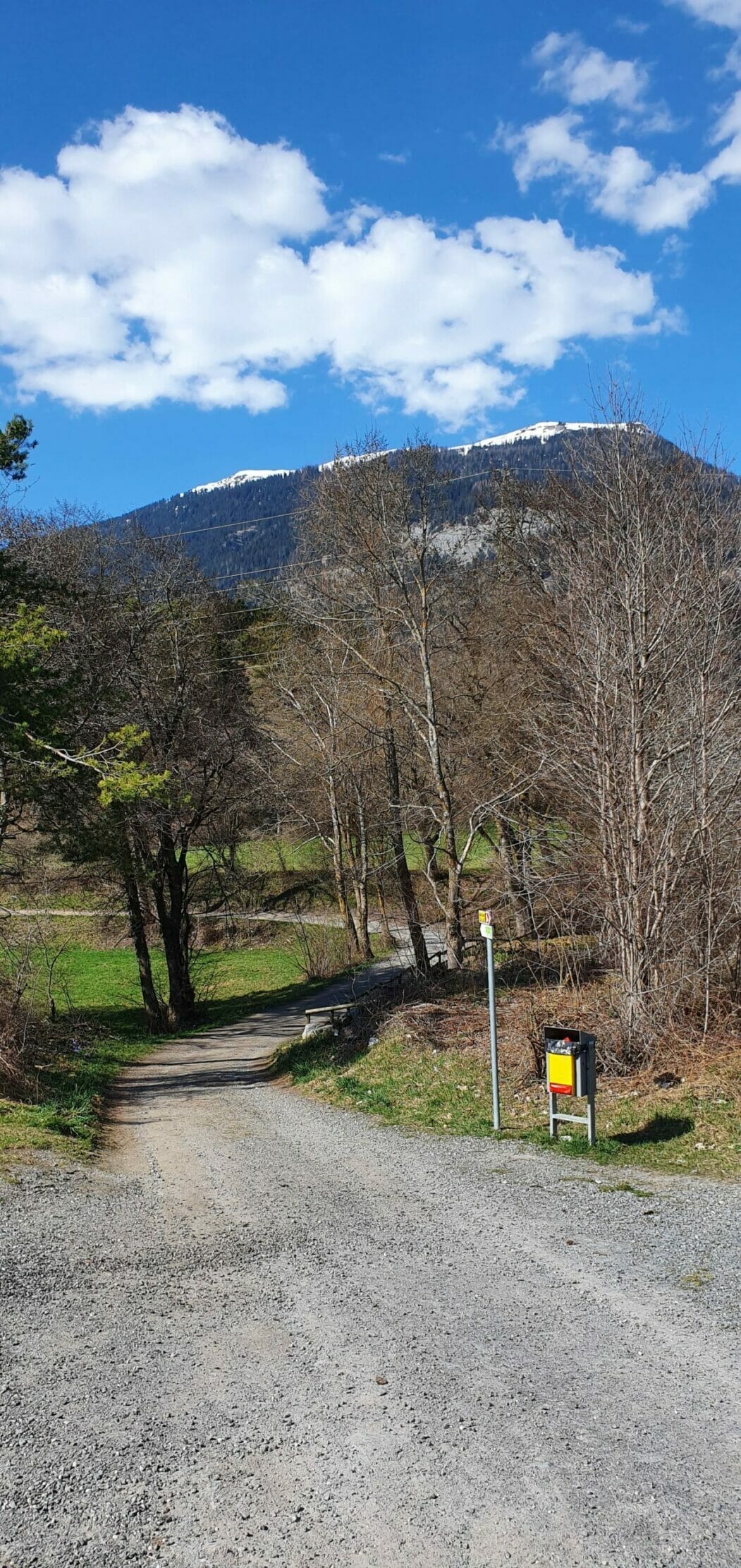
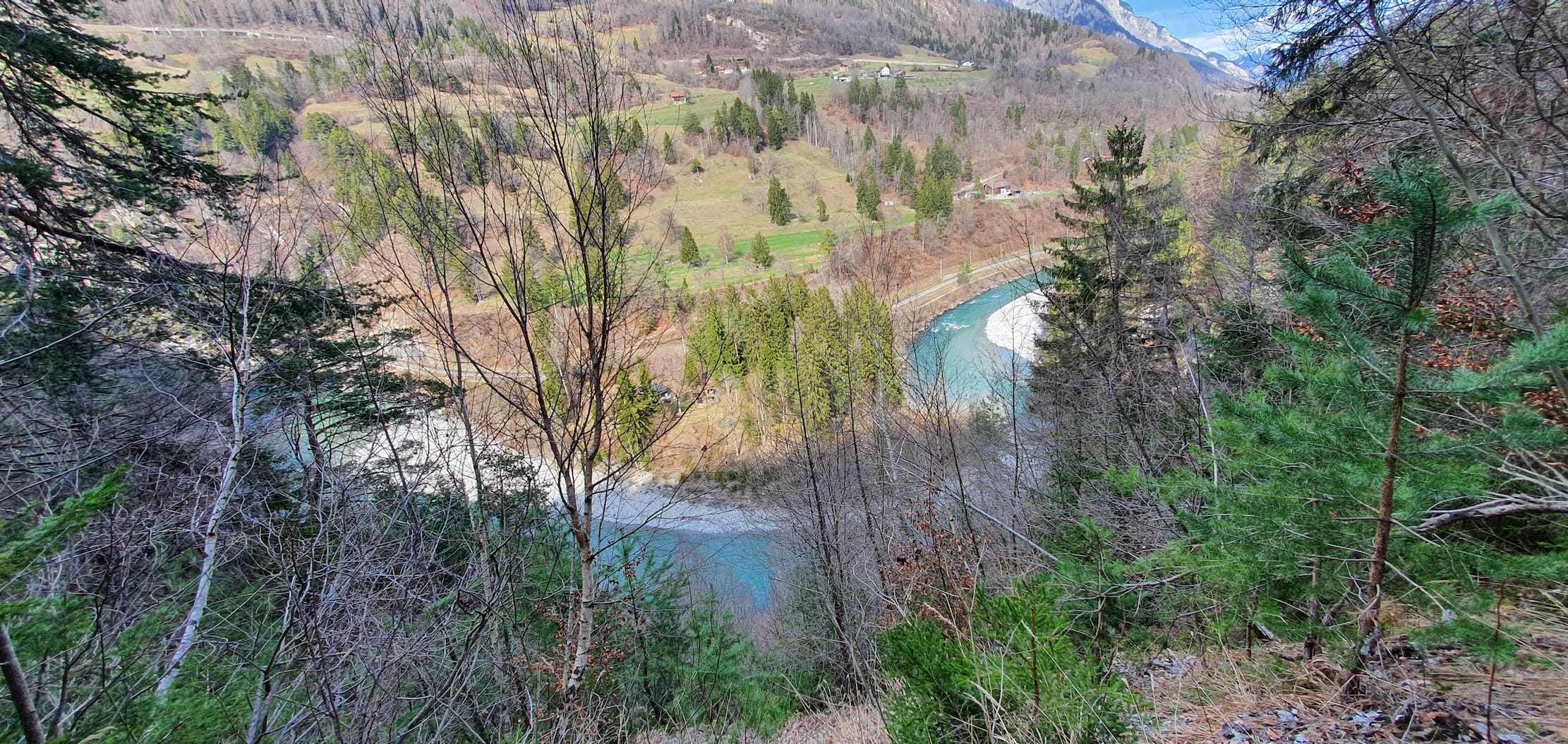
Continue along a dirt path until you reach the new pedestrian bridge that crosses the tracks again. But… don’t do it. Leave the bridge to your right and continue on the hiking trail to your left. This now leads through the dense forest, slightly MountainGo uphill until you have a great view of the Rhine Gorge.
Rhine Gorge Hike / Ruinaulta
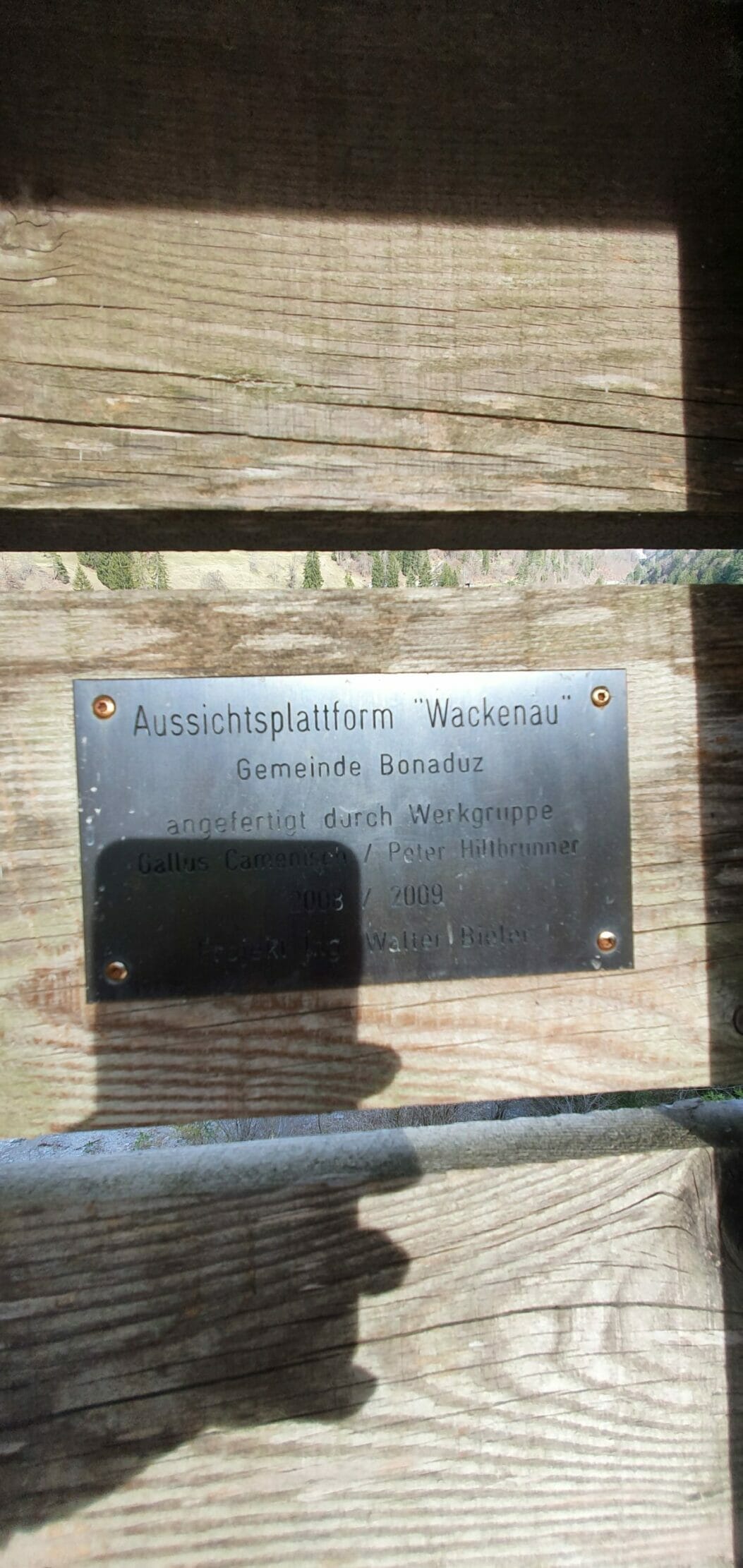
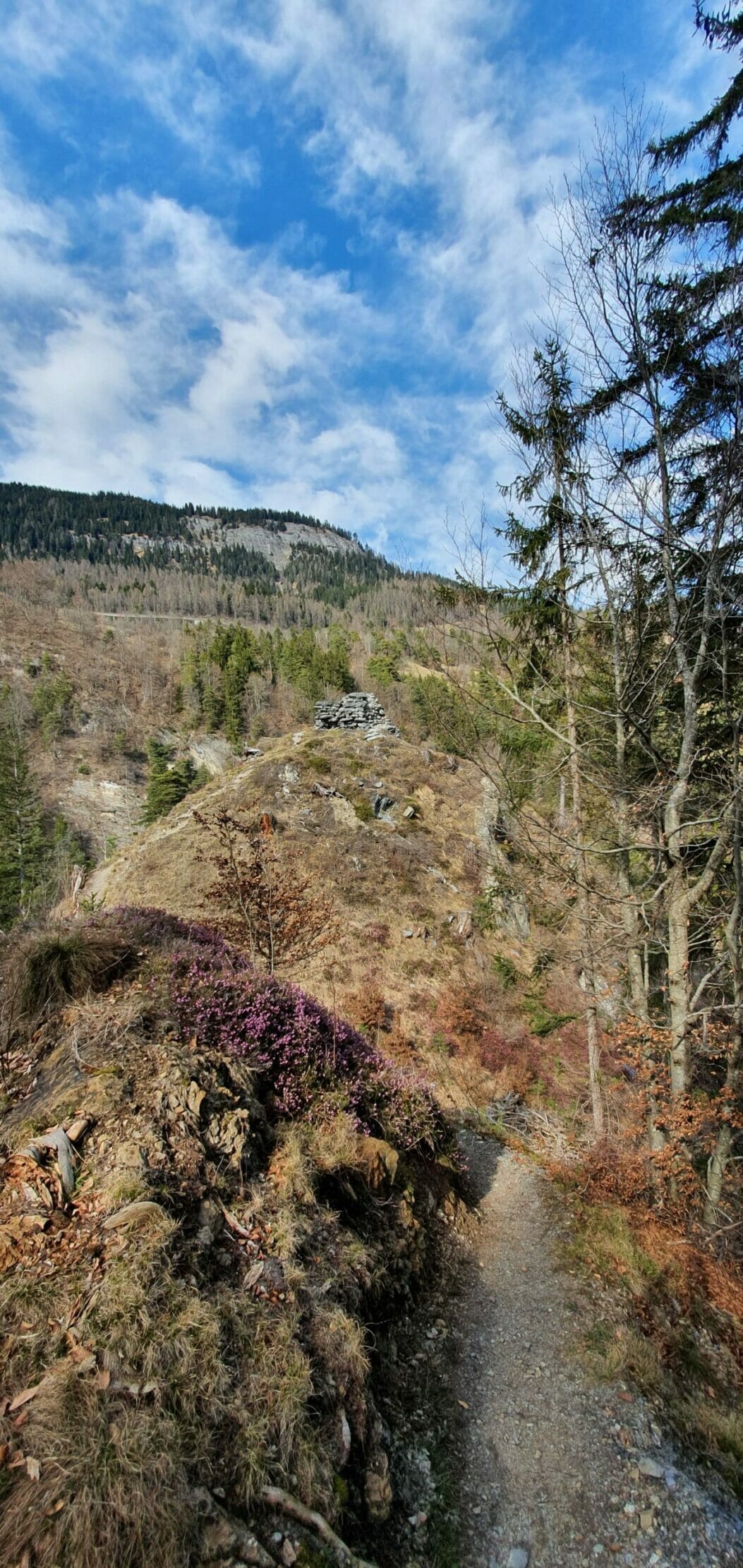
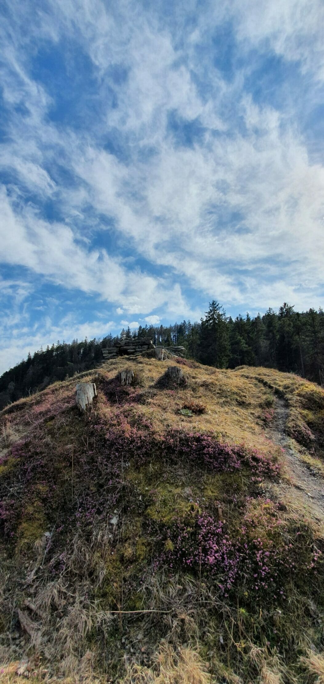
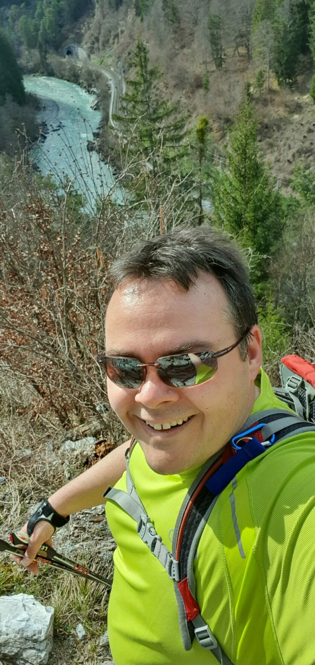
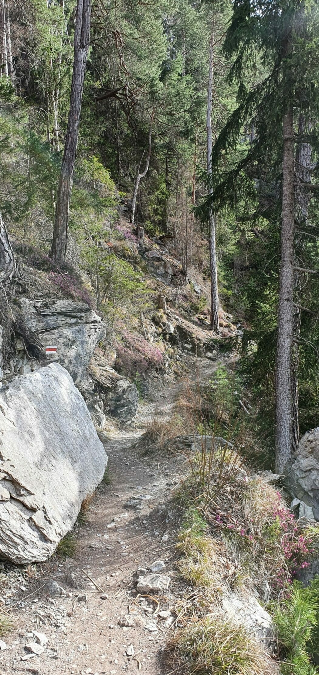
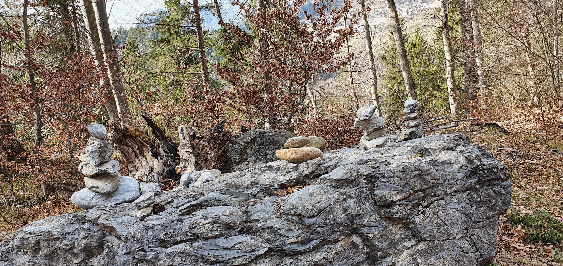
If you continue along the hiking trail, you will reach the end of the massive Rhine gorge at the Wackenau Observation Deck. It is named after the ruin located above it. You can also reach it via Trin Station. According to information, the viewing platform is accessible from May to October. I was there in March 🙂
Wackenau Castle
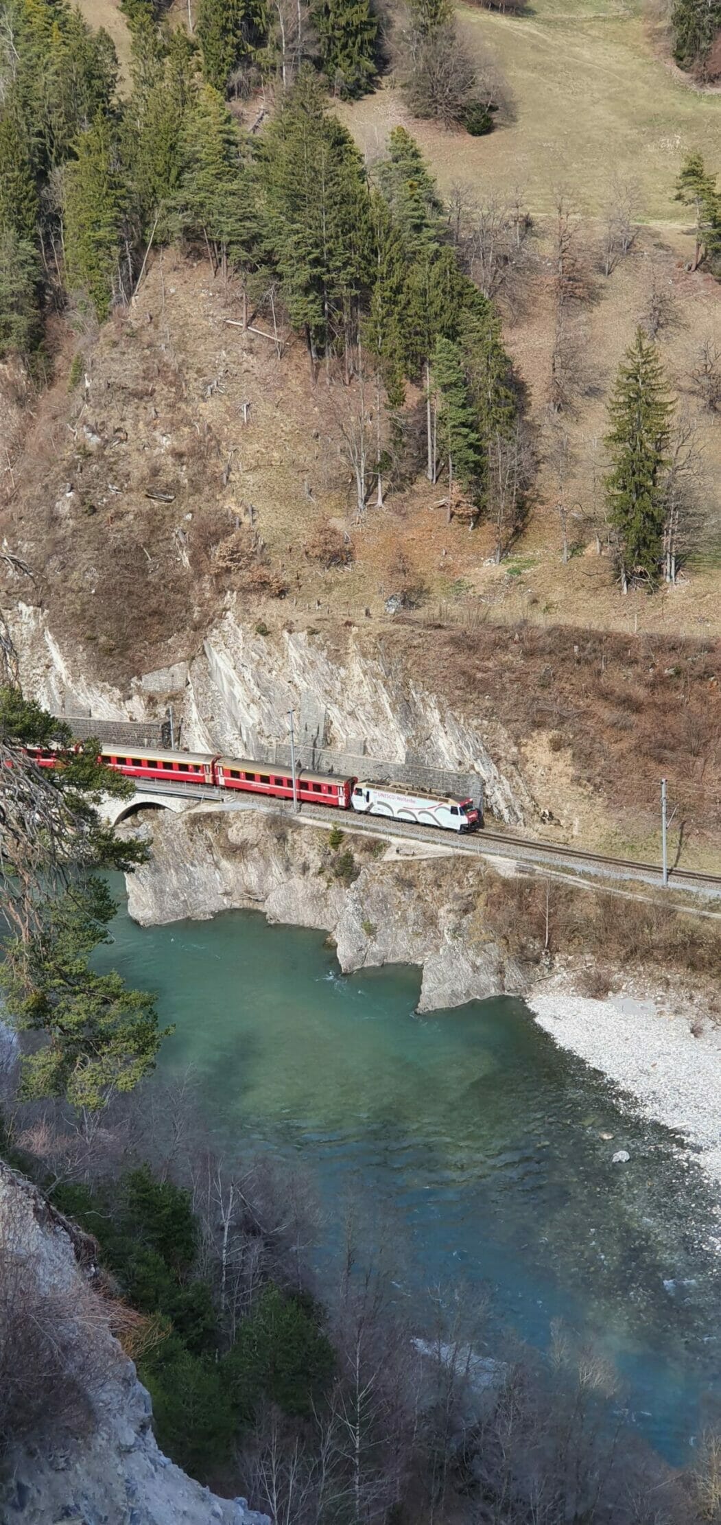
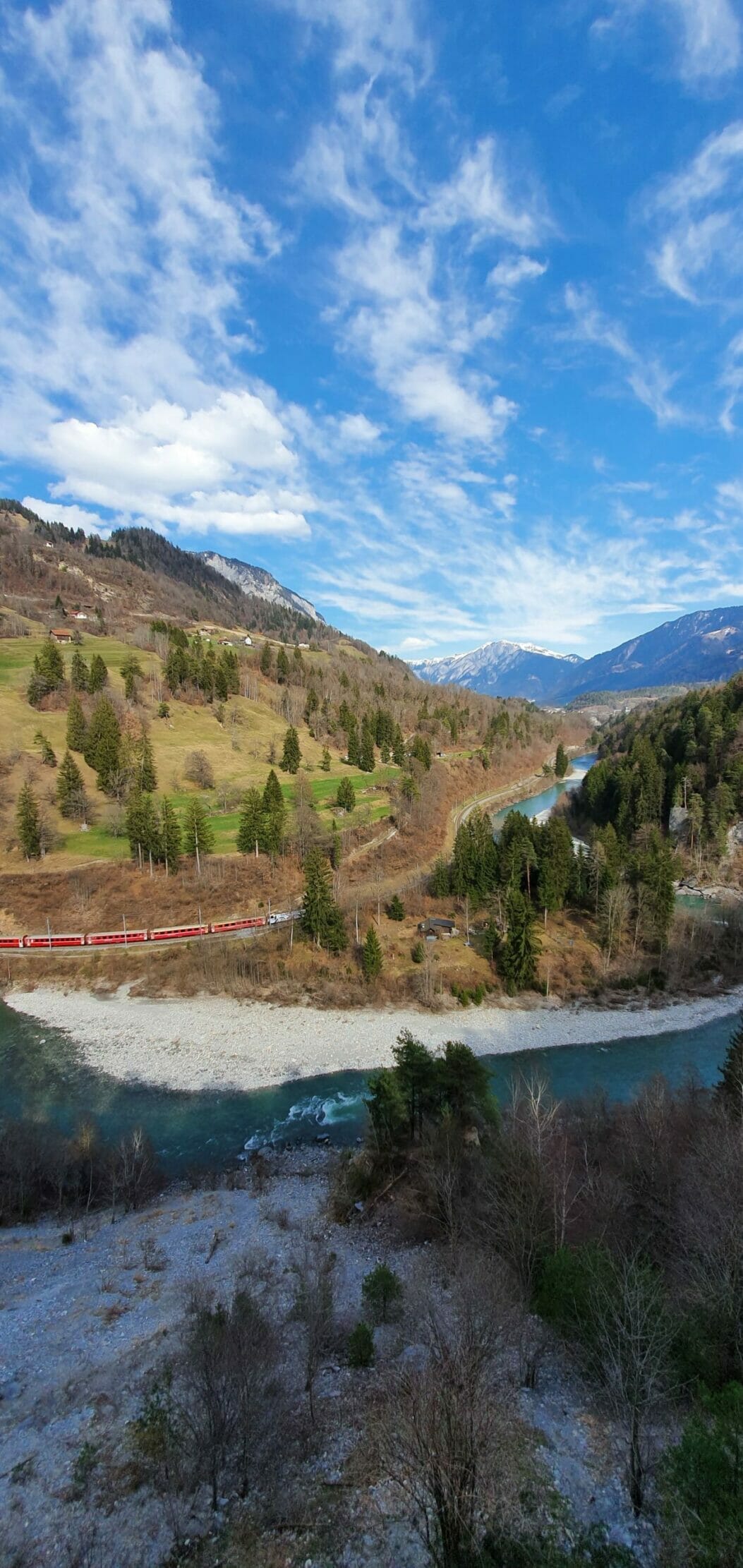
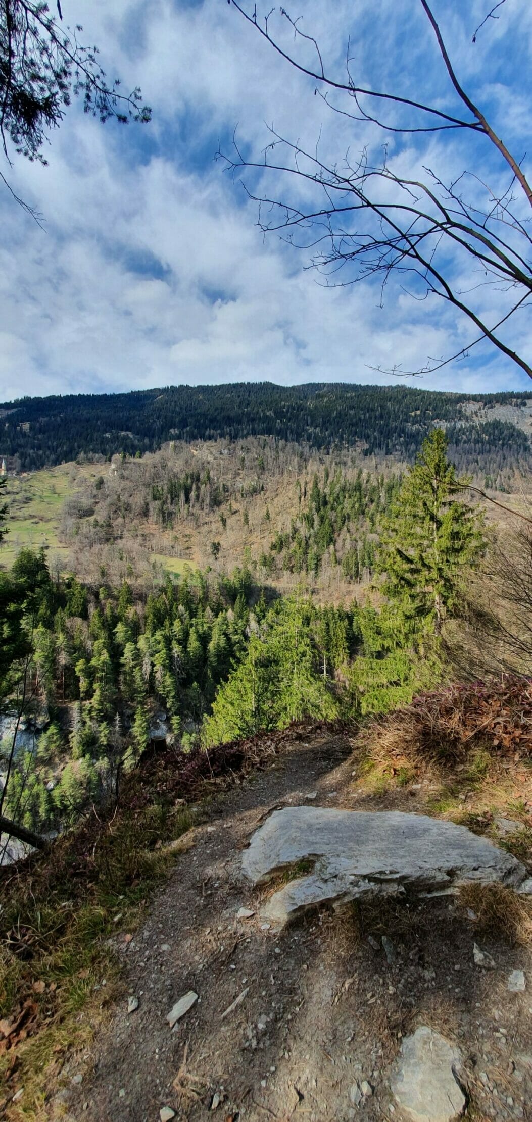
The ruin of Wackenau Castle is located at 630 meters above sea level and belongs to the municipality of Bonaduz. In 2010, the ruin was cleared of trees and undergrowth and has been accessible to hikers ever since. The view from up there is breathtaking. Many snapshots resemble a postcard motif, especially when the Rhaetian Railway also snakes through the gorge below you (see gallery).
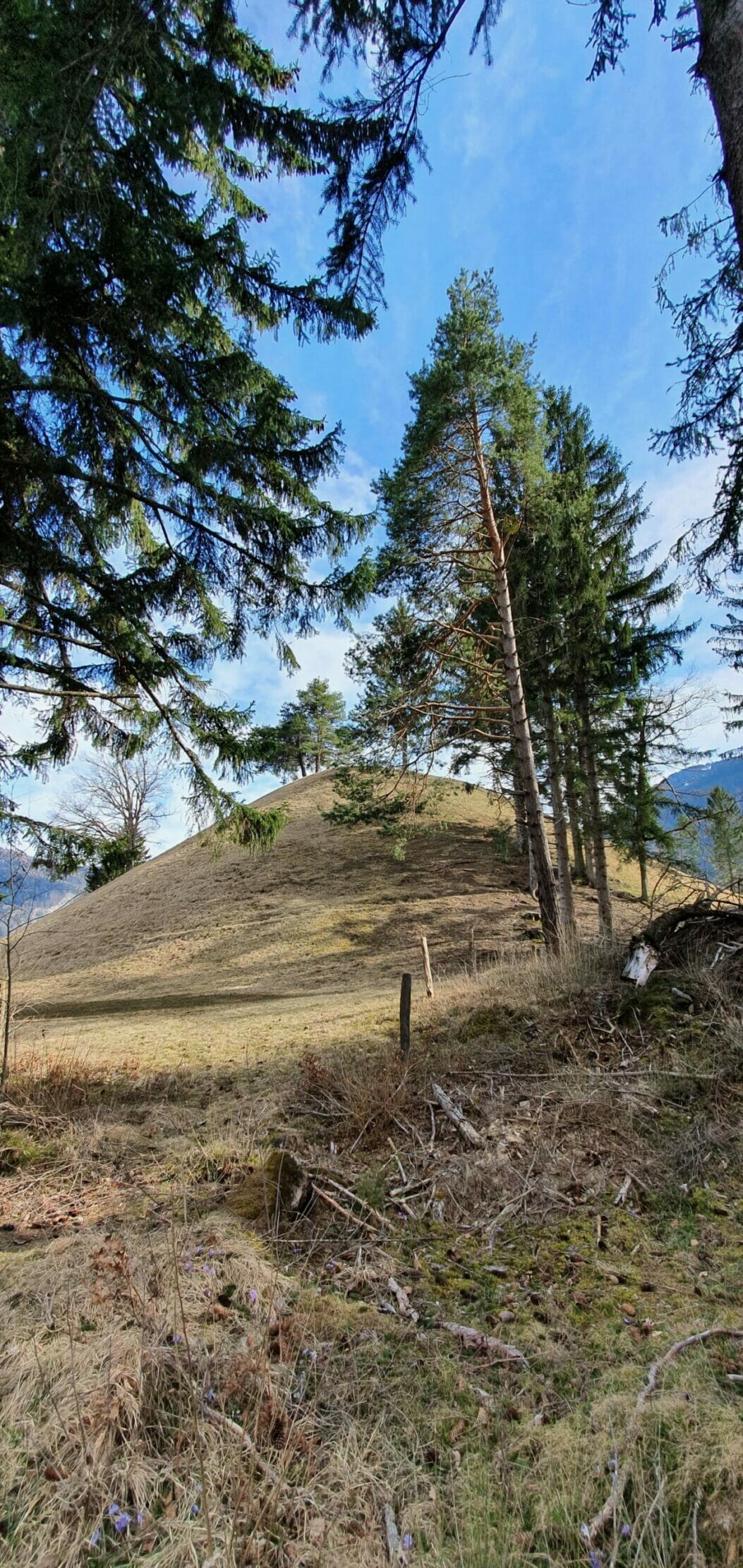
After visiting the ruins, you'll walk around Bot Tschavier once and then head back towards Bonaduz following the signposts. You can enjoy the views of the Rhine Gorge again in many places here. After a good hour, you'll reach Bonaduz again and walk back along the main road the same way you came to the train station.
The Ruinaulta hike in Bonaduz is a leisurely circular trail that's also great for relaxing after work.
Details
- Directions via A13 to Bonaduz train station
- Walking distance 7.36 kilometers
- Hiking time 2 hours (pure walking time)
- Elevation gain: 116 m
- Meters of descent: 116 m
- Difficulty level: Simple
- Requirements Good footwear, no fear of heights for the ruins


- About the Author
- Latest posts

On my travel blog Wandernotizen I'll take you along on our family trips around the globe. Between wanderlust and everyday chaos, you'll find honest travel reports, tips, and plenty of material to ignite your wanderlust. 🧭 ❤️ 🏝️