The hike to Montalin is a beautiful hike that requires a good amount of fitness and stamina. In return, you'll be rewarded with breathtaking views of the Churer Rhine Valley and of Chur itself. And this is true for almost the entire way.
It's best to start this hike directly at Chur train station. From there, walk towards Fürstenwald / Kleinwaldegg and follow the signs towards Rot Platte / Mittenberg. I recommend hiking up the Mittenberg, as the route towards Rot Platte is often closed due to rockfalls.
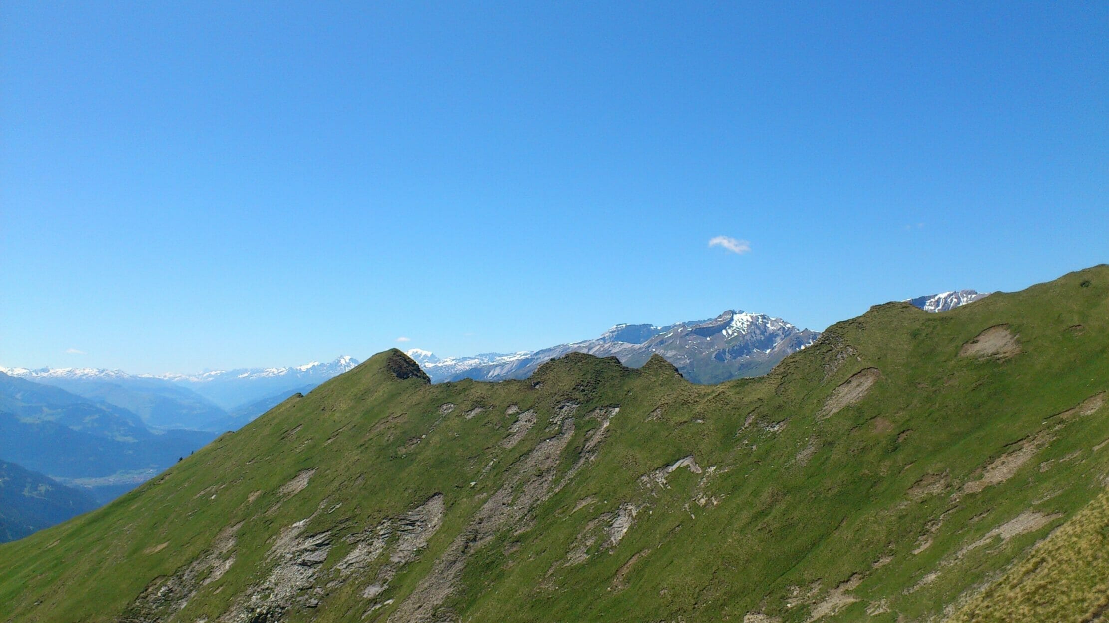
To Montalin via Fürhörnli
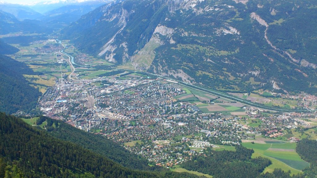
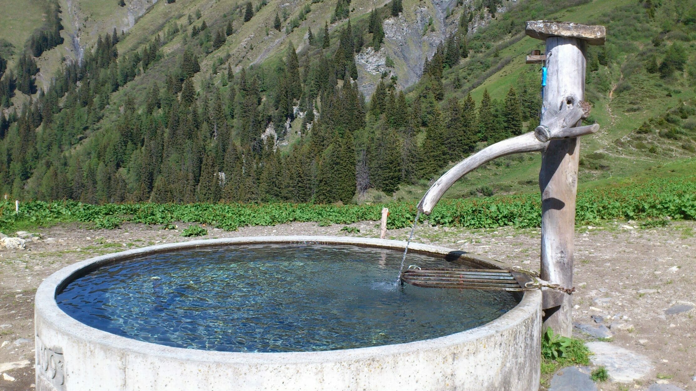
On the Mittenberg Upon arrival, I always take my first break and enjoy the view of Chur. Up here, there's a great barbecue area and also a fountain to refill. Swiss water is the best. Water best in the world, I think. It always tastes wonderfully fresh.
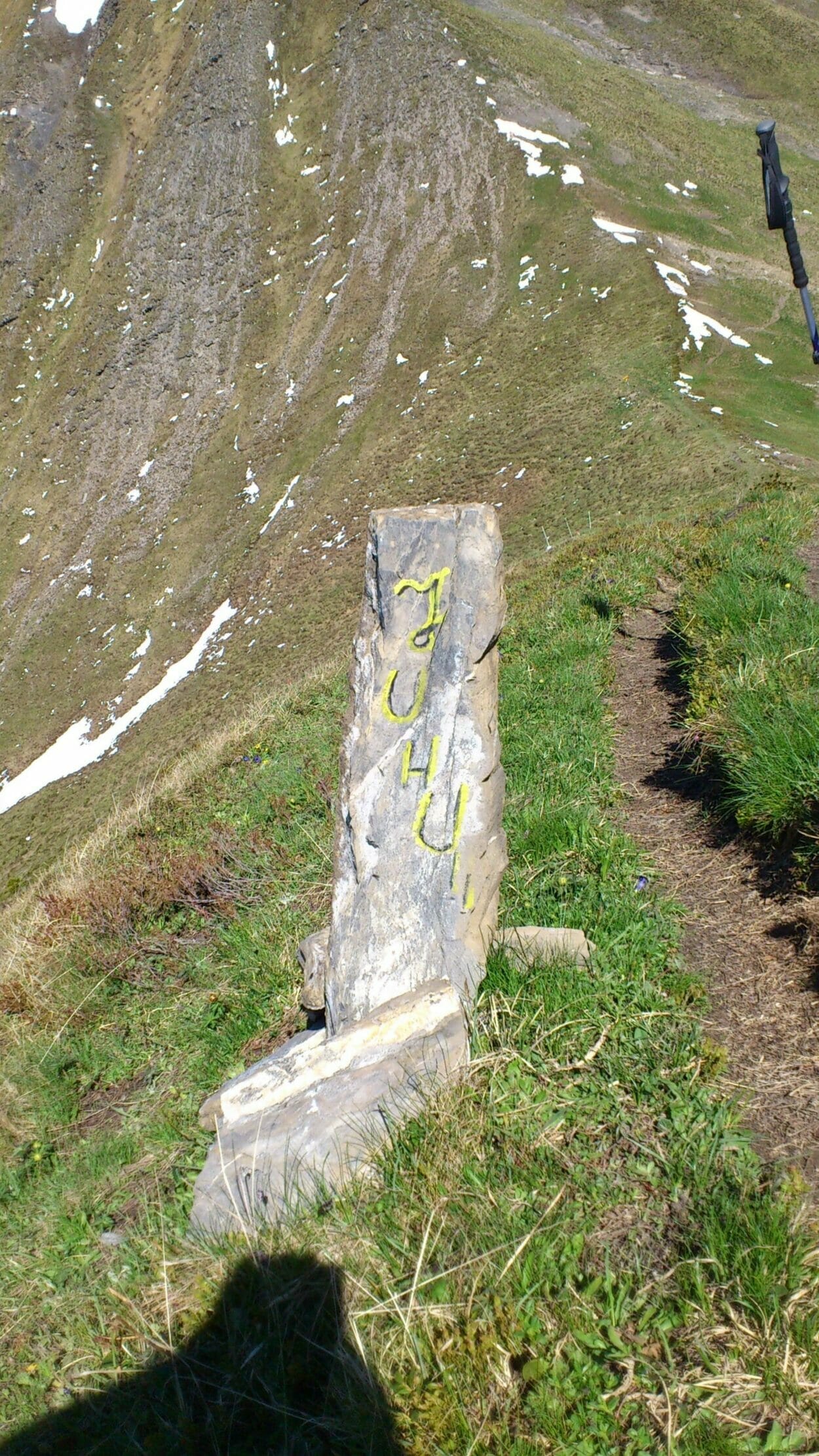
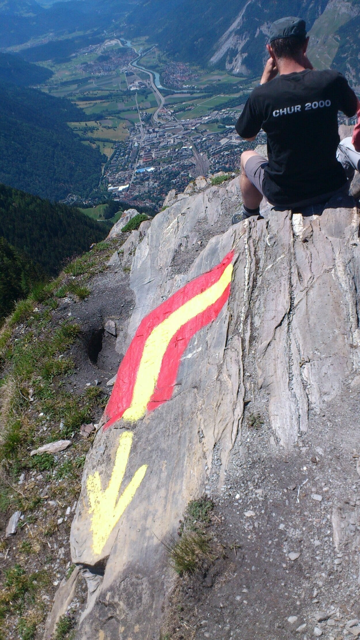
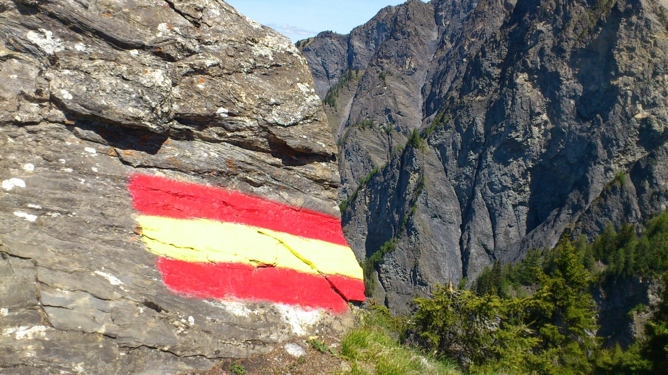
Next, it continues towards Fürhörnli. Here you pass lush green meadows and walk along a wonderful mountain path that winds its way up the slope to the Fürhörnli. The ascent is steep and strenuous, but the feeling afterwards is all the better when you have reached the summit. The view is fantastic. You can see Church down, until Domat/Ems and further along the valley. On your right, you can see along the Rhine valley. From here on, the signage is alpine, meaning blue-white. You should really have appropriate Footwear to be wearing.
The path now continues uphill towards Monatlin. You've already completed a little over half of it. From here, you'll see ibexes, especially in the morning and afternoon hours. So, definitely keep your camera ready. There's a high probability you'll spot them at the very top of Montalin in the summer.
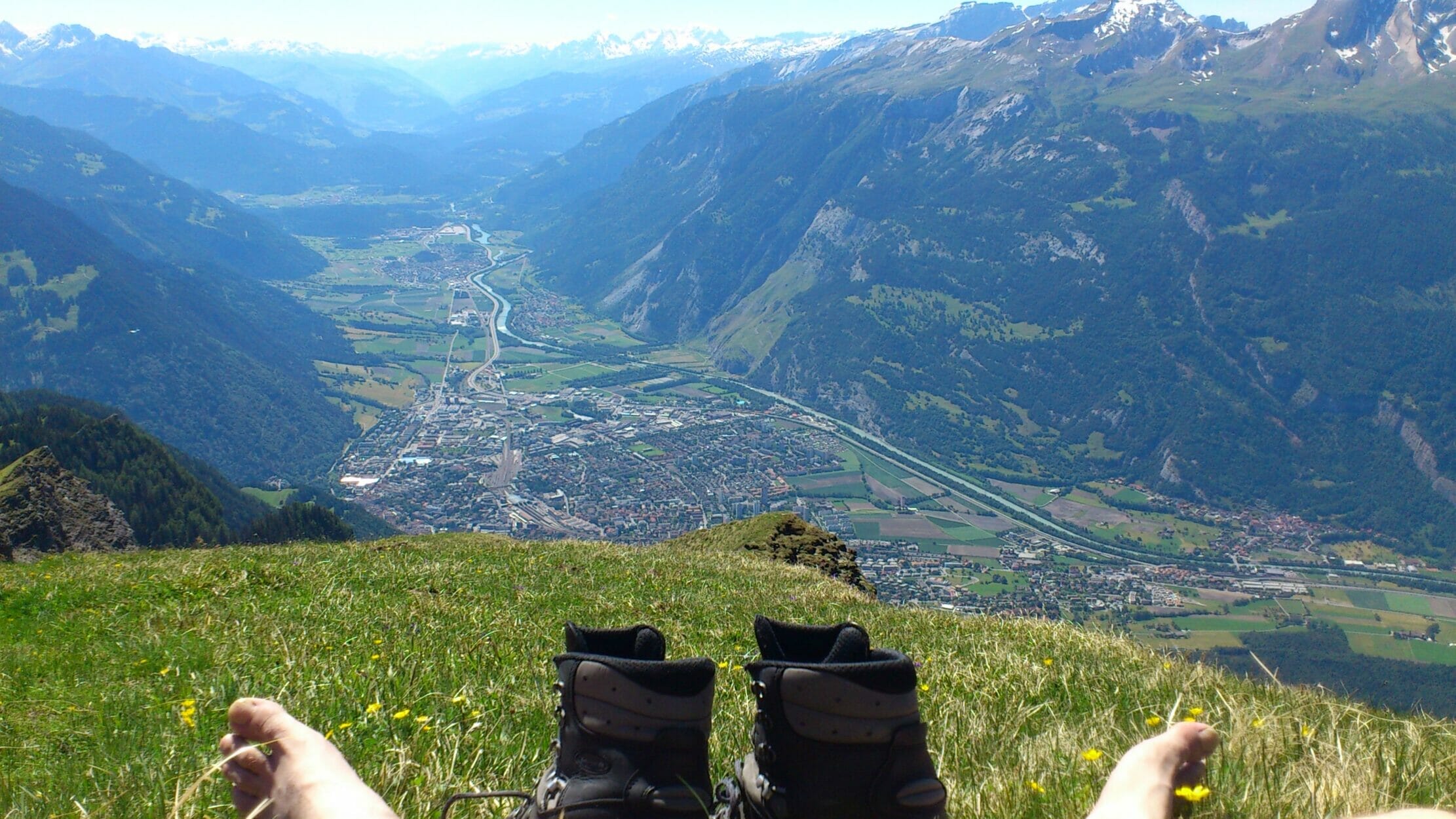
After a pleasant five to six hours of hiking, you reach the summit of Montalin. It's covered in a lush green meadow that invites you to take off your hiking boots and relax. Somewhere along the way, I gave you the tip never to take off your shoes. Montalin is truly the exception here.
Relax and enjoy the view
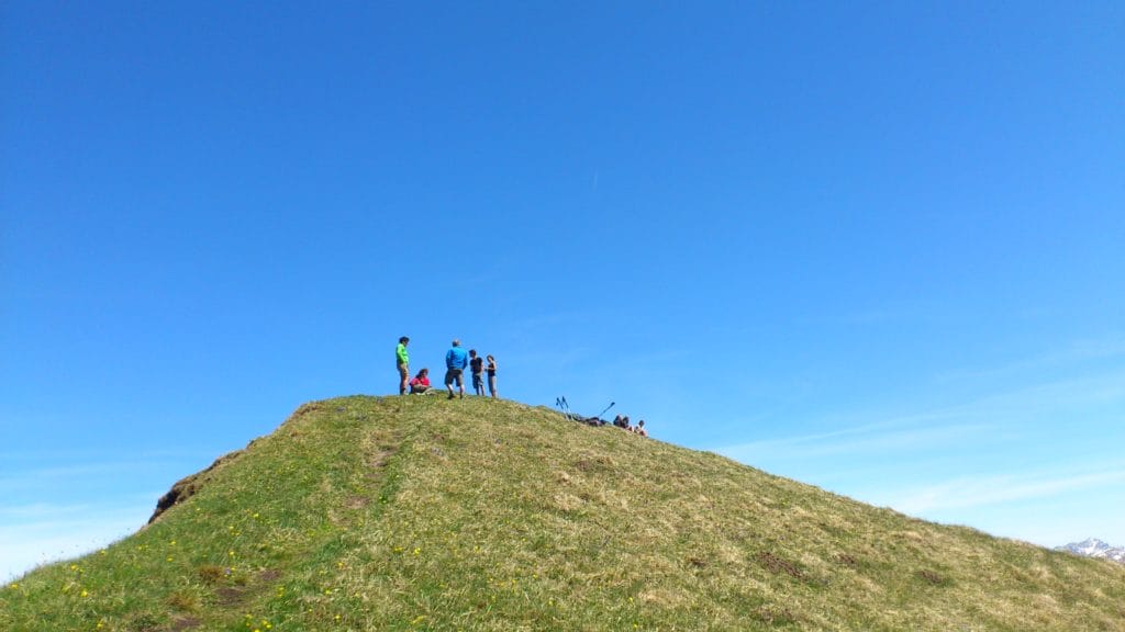
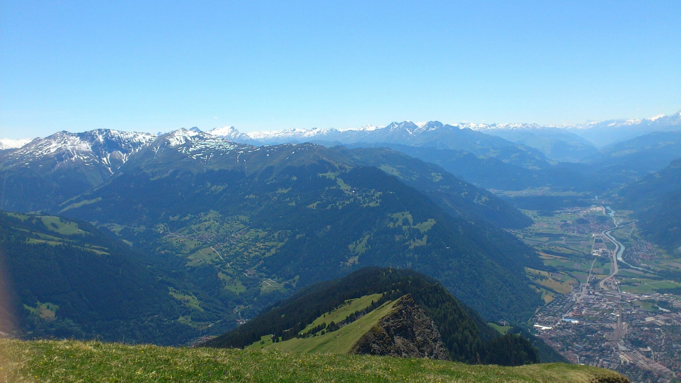
Also, take off your shoes here on the Montalin, and then you can make yourself comfortable on the green meadow and enjoy the view of Chur. From here you can also see all the well-known peaks in the area, the Calanda, the Falknis, the Pizol, the Dreibündenstein, the Churer Joch, and whatever else they are called.
The view from up here is top-notch.
If you've had enough impressions, there are now two ways to return. I don't have a favorite route; both options are great.
One route takes you down via Says to Trimmis. From there, it's just a few flat kilometers back into the Fürstenwald. A great trail, passing by some farms and springs, until you can run down the mountain road.
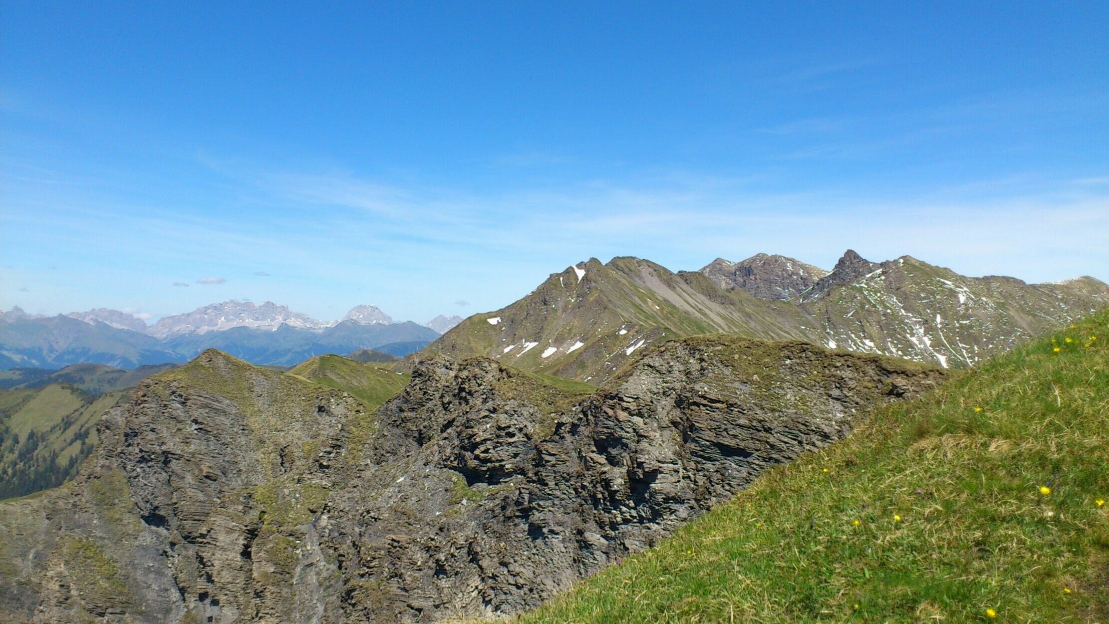
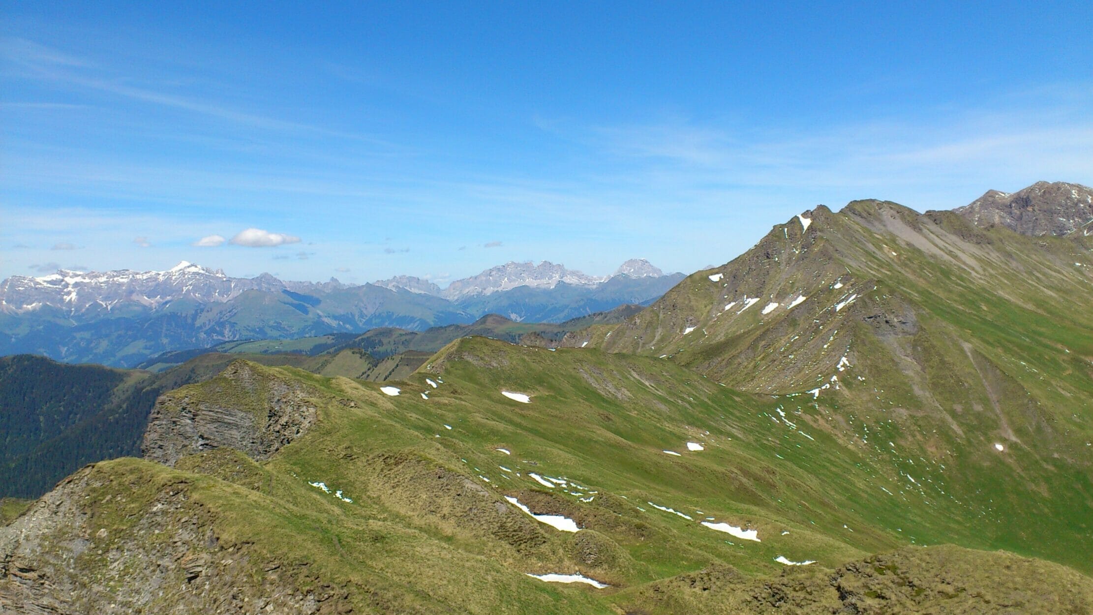
Descent to Calfreisen
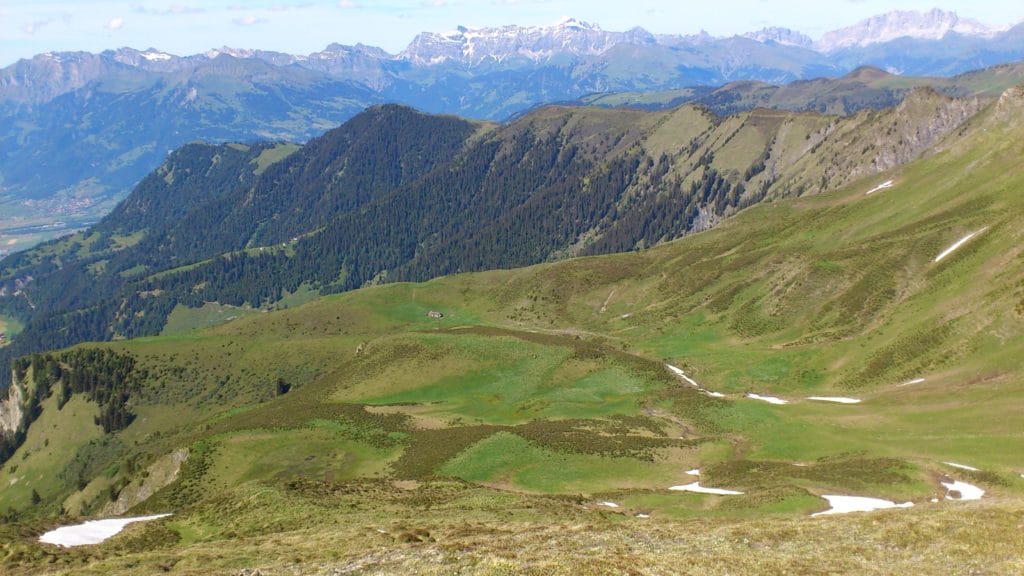
The second option is to walk down the mountain on the other side towards Calfreisen. I usually do that. The descent there is consistently steep and you walk across pastures and meadows down to about 1200 m. Once you arrive in Calfreisen, there is a post bus stop. The bus goes to Chur train station about once an hour. Since I usually start from the city, I have now arrived at my destination.
Everyone else will have to make the climb up to Fürstenwald again. Buses 2 and 4 (Kleinwaldegg) will also take you there, allowing you to start relaxing from Calfreisen.
Information about the Montalin hike
- Directions Chur train station, via Fürstenwald or Kleinwaldegg, alternatively post bus to Maladers (shorter tour)
- Walking distance 17.47 km
- Hiking time 10:22 AM (including taking photos and breaks)
- Elevation gain: 1701 m
- Meters of descent: 1230 m
- Difficulty level: Difficult, good condition required
- Requirements Sturdy footwear, no fear of heights
Conclusion: Chur - Montalin Hike
The hike to Montalin is one of my favorite hikes. At the same time, it's also one of the most strenuous. But the reward is commensurate. Not only the view, but also the sore muscles in the following days give one a reason for satisfaction. 🙂


- About the Author
- Latest posts

On my travel blog Wandernotizen I'll take you along on our family trips around the globe. Between wanderlust and everyday chaos, you'll find honest travel reports, tips, and plenty of material to ignite your wanderlust. 🧭 ❤️ 🏝️
1 thought on “Chur Montalin – Fortgeschrittene Wanderung”